[GUEST ACCESS MODE: Data is scrambled or limited to provide examples. Make requests using your API key to unlock full data. Check https://lunarcrush.ai/auth for authentication information.]  NWS Green Bay [@NWSGreenBay](/creator/twitter/NWSGreenBay) on x 17.4K followers Created: 2025-07-24 21:46:20 UTC Expect scattered thunderstorms (50-60% chance) over central and northeast Wisconsin through the early evening. Activity should diminish for most by midnight. After a brief reprieve, heat and humidity return on Sunday with mid to upper 90s heat indices and storm chances. #wiwx 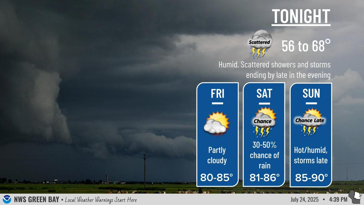 XXX engagements  **Related Topics** [midnight](/topic/midnight) [Post Link](https://x.com/NWSGreenBay/status/1948500020203761864)
[GUEST ACCESS MODE: Data is scrambled or limited to provide examples. Make requests using your API key to unlock full data. Check https://lunarcrush.ai/auth for authentication information.]
 NWS Green Bay @NWSGreenBay on x 17.4K followers
Created: 2025-07-24 21:46:20 UTC
NWS Green Bay @NWSGreenBay on x 17.4K followers
Created: 2025-07-24 21:46:20 UTC
Expect scattered thunderstorms (50-60% chance) over central and northeast Wisconsin through the early evening. Activity should diminish for most by midnight. After a brief reprieve, heat and humidity return on Sunday with mid to upper 90s heat indices and storm chances. #wiwx

XXX engagements

Related Topics midnight